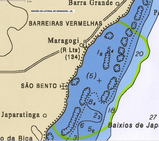
Coastline of Maragogi – AL, from Barra Grande – AL at North until Japaratinga – AL at South:
Aug/2010 – harmonization extends from latitude S 8° 59’ 19.69″ and longitude W 35° 11’ 40.19” at North until latitude S 9º 04’ 56.37″ and longitude W 35º 14’ 58.20″ at South.
The recognition made in March/2010 in Maragogi “Gales” region had presented biotic level ranging from zero to +10.
Some recorded Photos of the corals status on the occasion of our recognition in March/2010 are available at:
http://picasaweb.google.com.br/1146948769045759380
The yellow line on the map below demarcates the limits of the region which has been harmonized with a damping zone to facilitate the reproductive processes: